Potato Creek State Park

A Visit to Potato Creek State Park
Potato Creek State Park lies in northern Indiana, just south of the city of South Bend. The park provides visitors an opportunity to enjoy a variety of outdoor activities including, hiking, horse back riding, bicycling, swimming, camping, boating, fishing, and much more.
On this page I will share some photos of the area and provide some information about Potato Creek. The photos on this page were all taken in late April 2010, well before the summer season began.
About Potato Creek State Park
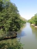
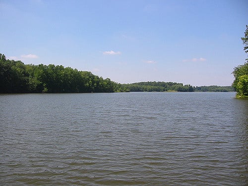
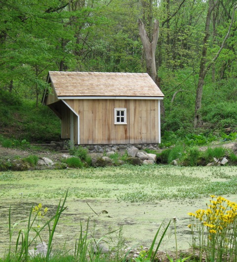
Potato Creek State Park covers 3,840 acres of land and includes Lake Worster, a 327 acre lake. While much of it is wooded, there are also wetlands and marshes. The terrain is only gently rolling providing some fairly easy hiking. There is no inn at the park but there are cabins available as well as campgrounds. There is also a horsemen's campground and approximately 7.5 miles of bridle trails.
There is a paved bicycle path (3.3 miles) as well as several miles of moutain bike trails near the northern end of the lake that provide a fairly easy ride. There are also three fishing piers as well as a beach area for visitors to enjoy during the warmer months. During the winter there is a sledding hill available not far from the Peppermint Hill Picnic Area near the north end of Worster Lake.
Hiking Trails at Potato Creek
Potato Creek State Park offers over 8.5 miles of hiking trails. Hiking in general is easy to moderate. There are a few steps and moderate climbs on some trails, particularly Trail 2. Trail 2 in fact will take hikers to the highest point in the park on Steam Boat Hill and is a 2 mile walk. This trail can be easily accessed via Trail 1 at the northern end of Worster Lake.
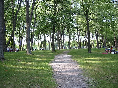
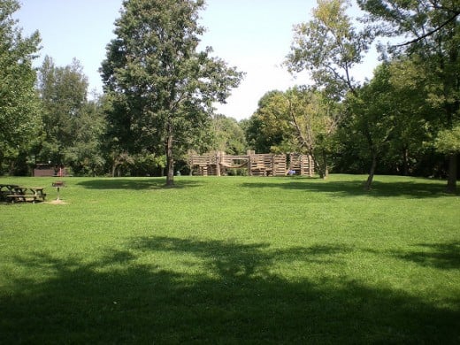
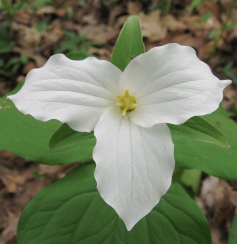
Trail 1 can be accessed near the picnic shelter and playground at the Peppermint Hill Picnic Area. The trail is 2.2 miles long and includes only moderate climbs. Most of the trail is wooded and some areas are marshy. Wildflowers are plentiful in the area, particularly in spring.
Trail 3 is on the south side of Worster Lake. It's a short 1 mile hike on a loop trail that can be picked up at the Quaking Aspen Picnic area. Hikers will get a glimpse of the lake, hardwood forest, and a bit of the wetland habitat as well.
Trail 4 picks up on the eastern edge of the lake near the Porter Rea Cemetery. It's a 2.5 mile loop trail and also provides a view of the lake, some marshy areas, open fields, and wooded areas as well.
Trails 5 and 6 are the easiest walking in the park. Trail 5 can be accessed from the campground area and is a simple 2 mile loop trail while Trail 6 (.5 mile) is near the Potato Creek entrance at the Visitor's Center.
Moutain Bike trailheads can be accessed near the Bathouse and Concession stand on the north side of Worster lake. Boat rentals are available near this area as well.
For a detailed park/trail map, you can check on this page.
A Look Around Potato Creek State Park - Click on Thumbnails to View Larger Images
Click thumbnail to view full-size


Find the Park

© 2010 Ruth Coffee